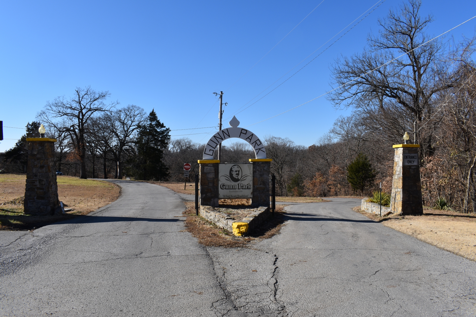
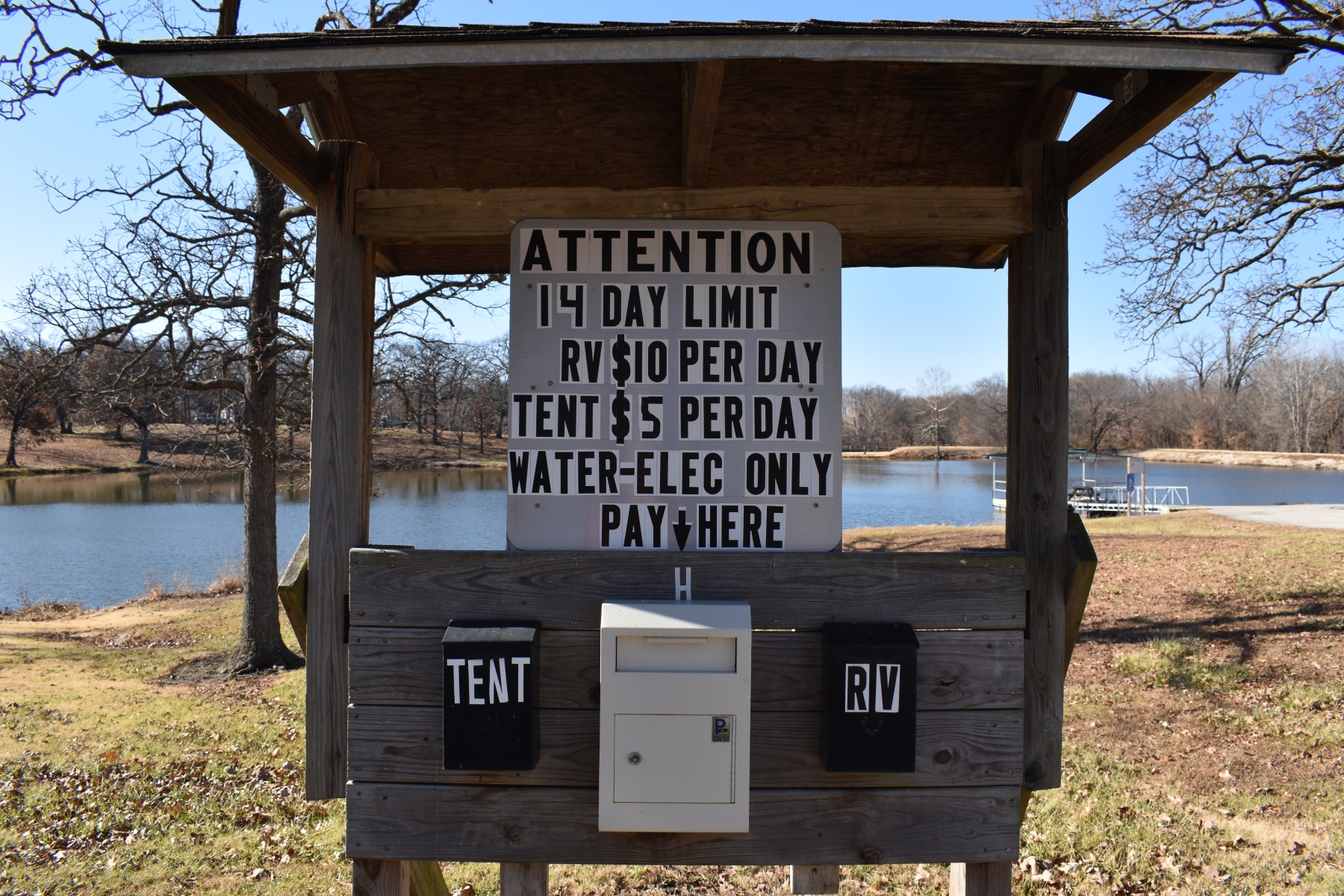
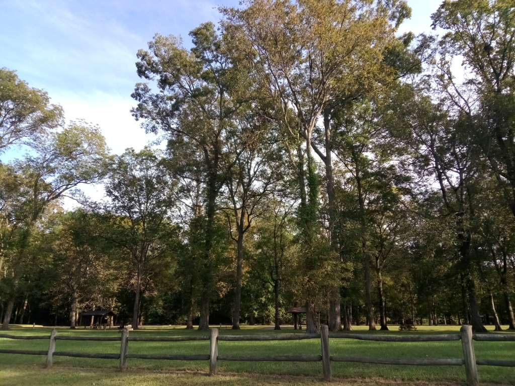
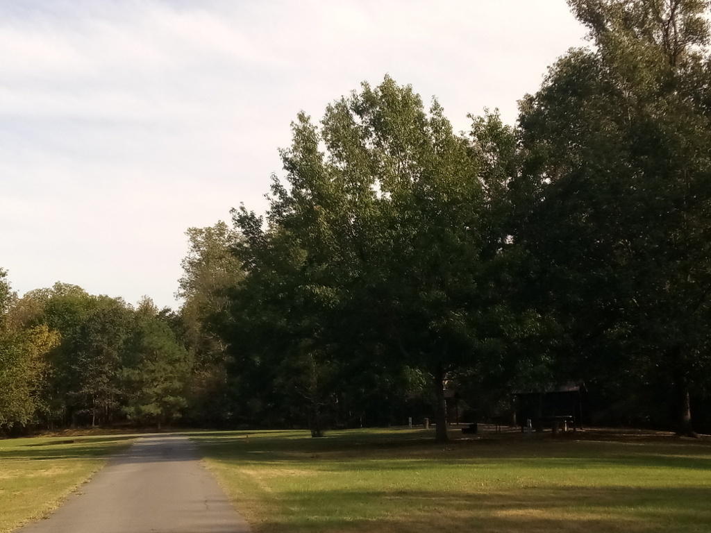
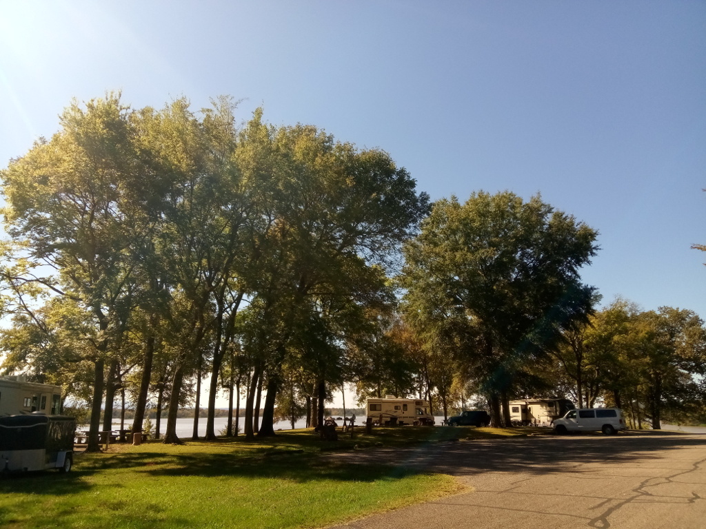
I recently made a trip to Fort Scott to collect information and take some photos of Gunn Park. The city park is on the western side of the city and has RV and tent camping. There are 14 RV sites with water and electricity. The cost is $10 per night.
It seems the city tried to squeeze in the RV sites. There is basically one post with two 30-amp connections, one above the other. Water connections are set on each side of the electrical post. There is essentially one wide gravel back-in site to accommodate two RVs, so you’d be really close to your neighbor.
For tent campers, there is a designated area for setting up a tent. There are no specific tent pads or sites, just an open area. There was one water hydrant. The tent camping fee is $5 per night.
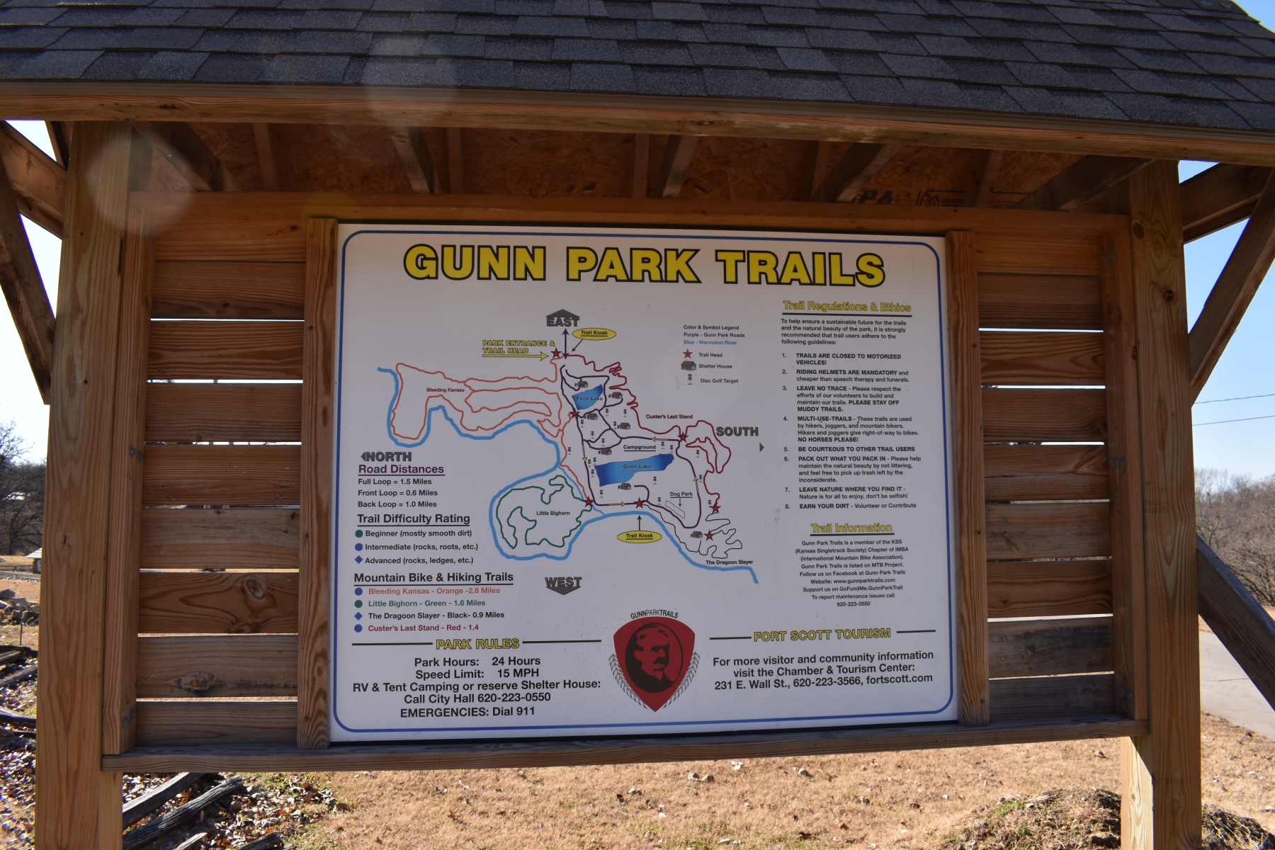
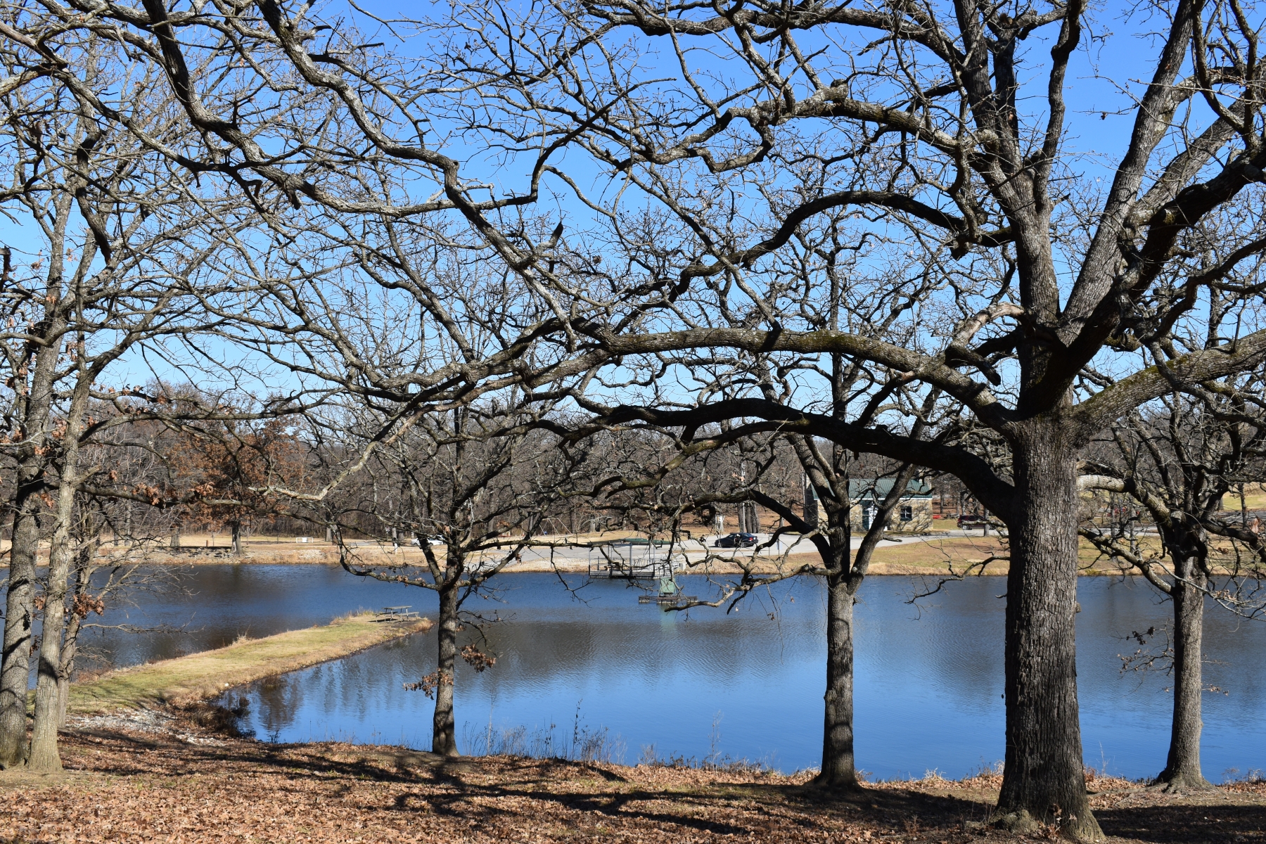
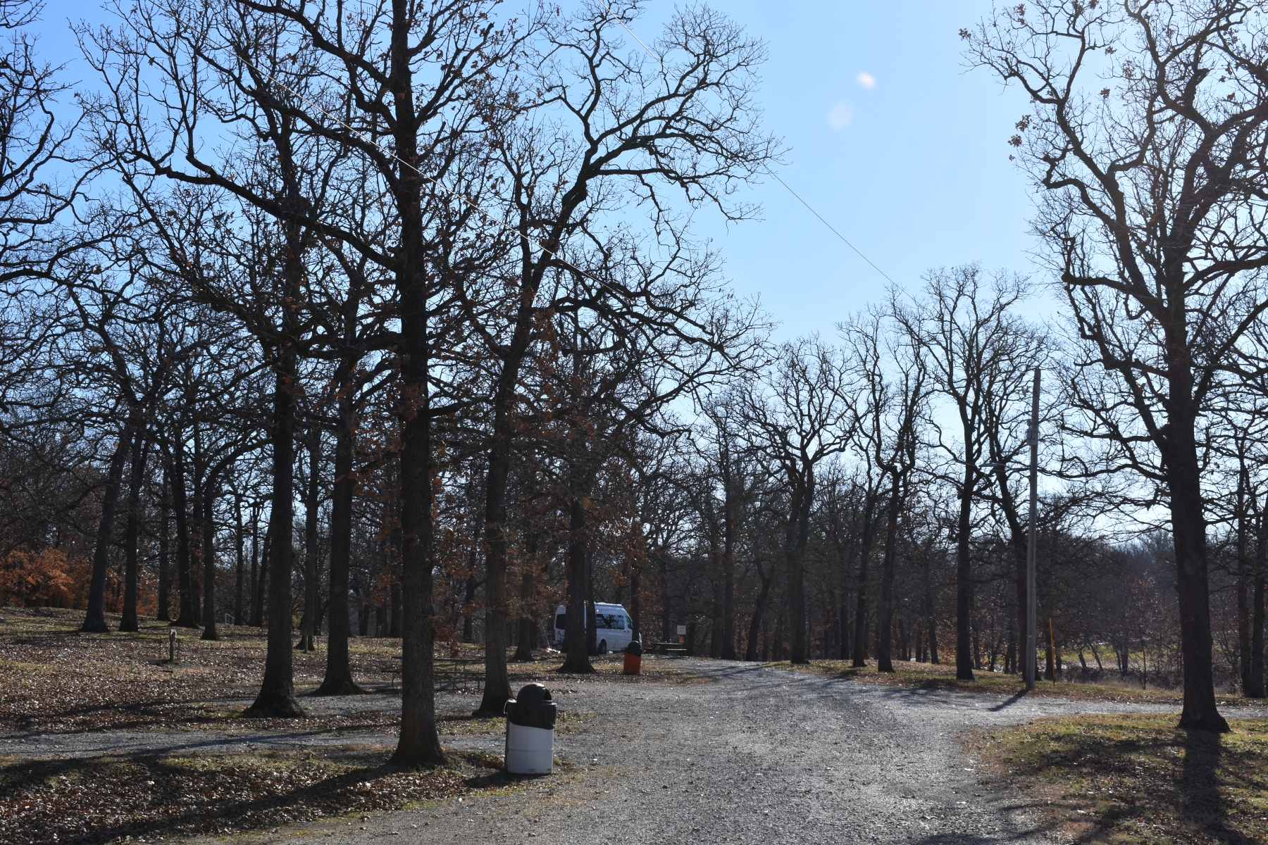
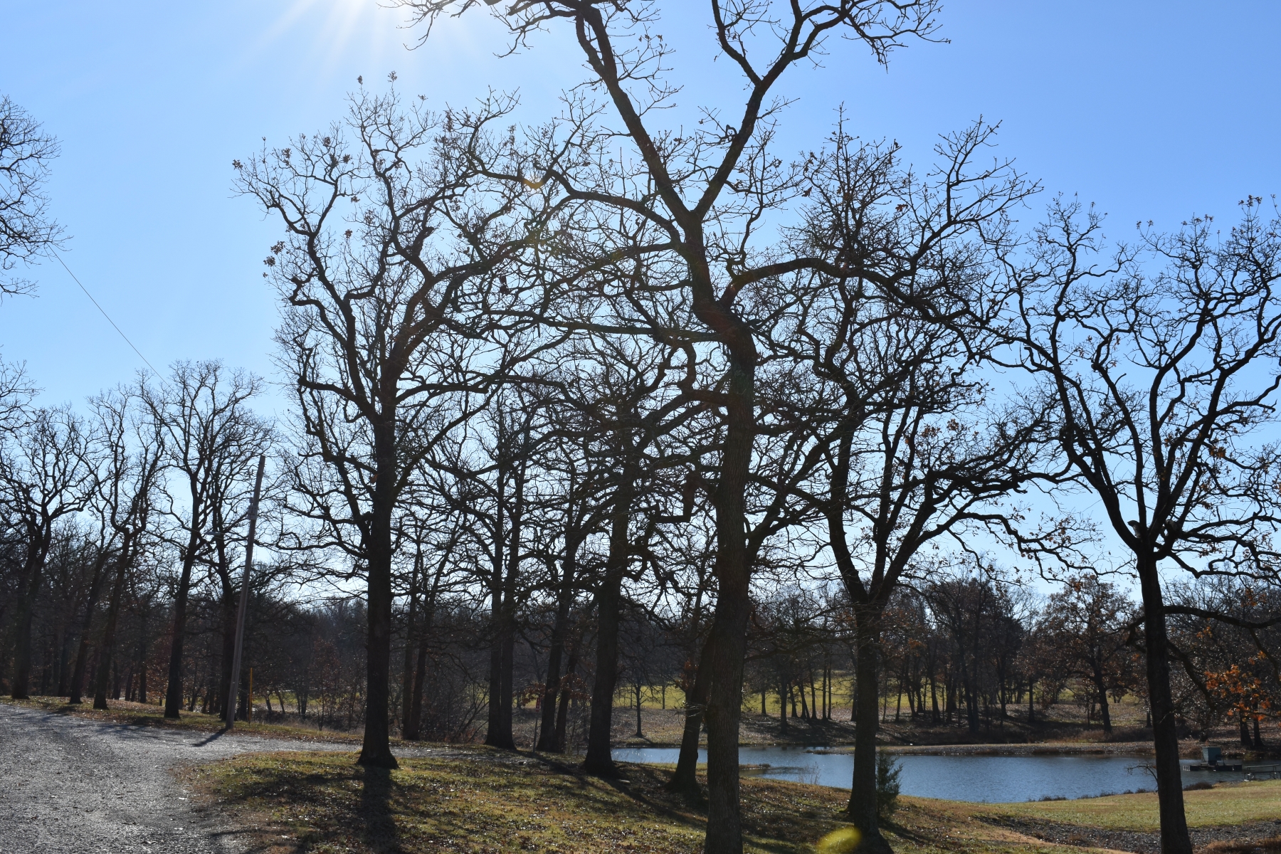
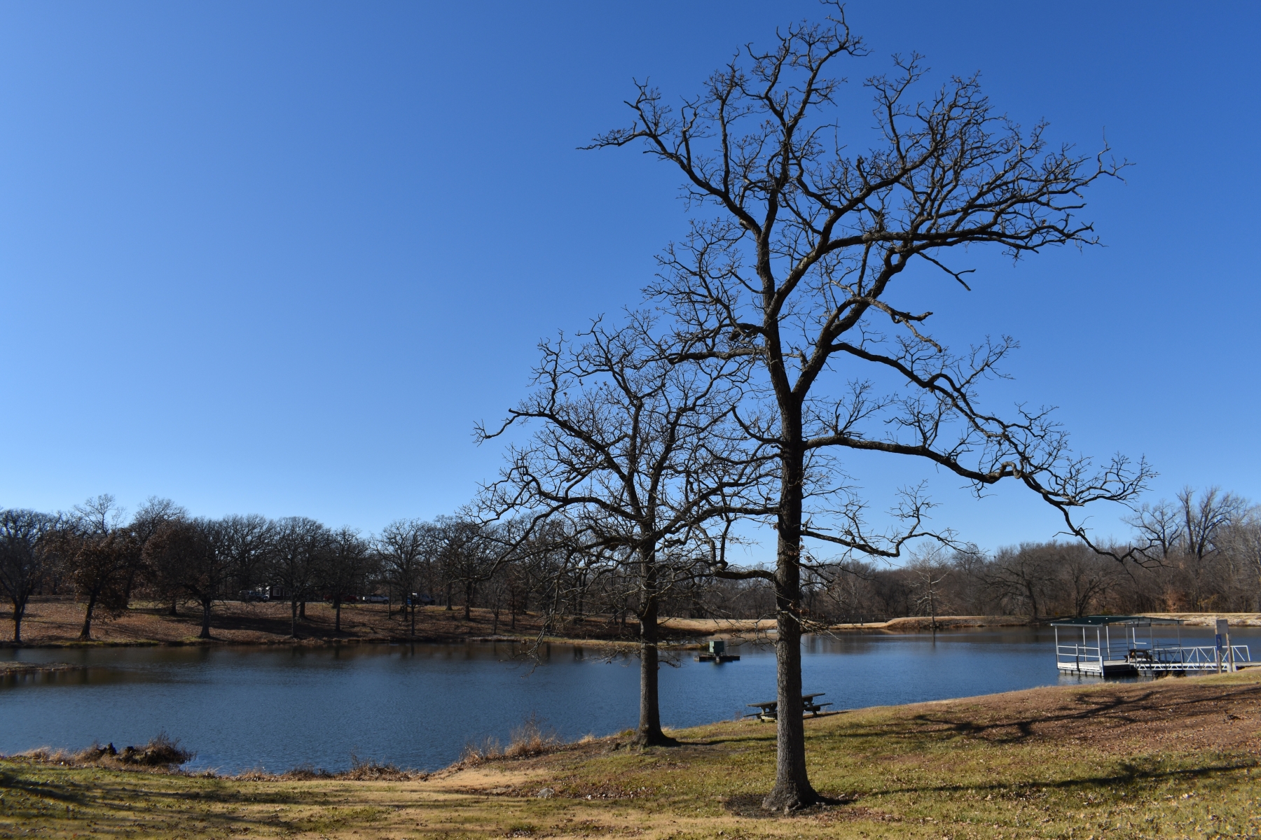
Gunn Park has over five miles of trails for walking and biking. There are two ponds for fishing, a disc golf course, two playgrounds, and numerous picnic shelters. It’s a nice park. I look forward to coming back to stay overnight sometime.
If you’ve not read part two of our travels following the Arkansas River, follow this link.
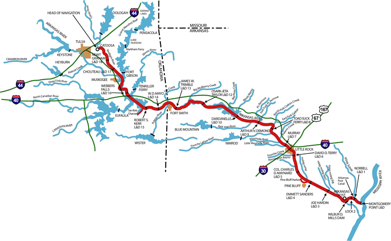
My wife and I recently took a trip following the Arkansas River. The plan was to follow much of the McClellan-Kerr Arkansas River Navigation System, stopping at various Corps of Engineers parks along the way. The navigation waterway is a 445-mile route from the Port of Catoosa near Tulsa, Oklahoma, to the Mississippi River. The system contains a total of 17 locks and dams along the Verdigris, Arkansas, and White Rivers.
McClellan Kerr Arkansas River Navigation System
Day three of our trip along the Arkansas River would take us to several Corps of Engineers parks and the Arkansas Post National Memorial. Our first stop was the Corps of Engineers office near Emmett Sanders Lock & Dam #4 where I obtained some information about projects in the area. There didn’t appear to be any public access to the lock and dam for viewing barge traffic so we continued onward. Crossing over the Arkansas River on US Highway 63, you can see the lock and dam just to the south. On the other side of the river is Sheppard Island, a recreation area with picnic facilities and boat access to the river.
Shortly after crossing the river, we turned off the highway to follow State Highway 88 toward Raydell. I chose to bypass Joe Hardin Lock & Dam #3, assuming there would not be any public access to watch barge traffic. Raydell is a wide spot in the road, consisting of a few homes and a Baptist church. From here the road headed northeasterly toward DeWitt and US Highway 165.
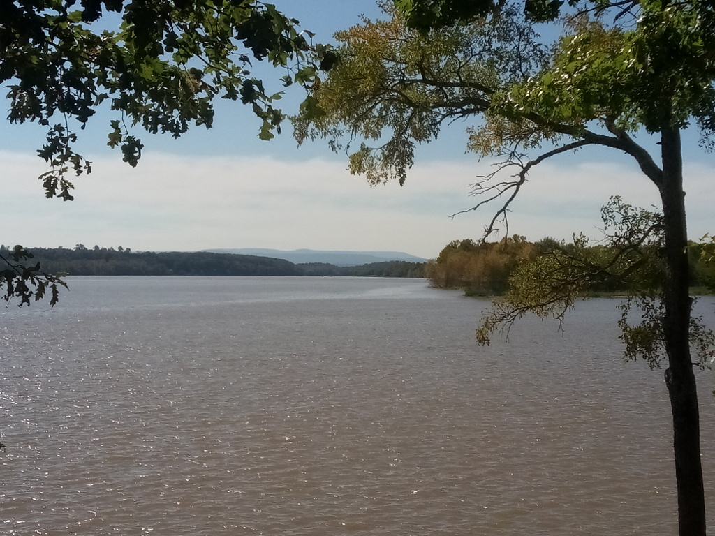
After following US Highway 165 south a bit and one left turn onto State Highway 44, we would soon be entering the Merrisach Lake Recreation Area. But first, I stopped at the nearby Corps of Engineers office for some information. To the east down Wild Goose Lane was access to Norrell Lock & Dam #1 on the Arkansas Post Canal. A nearby boat ramp provided access to the White River. This would be the closest we would come to the Mississippi River and the beginning of the McClellan Kerr Arkansas River Navigation System.
Lock 2 is located near the Corps of Engineers office but there is no public access for viewing river traffic. A bridge crosses over the lock providing access to the east side of Wilbur D. Mills Dam and Notrebes Bend Recreation Area, which has a 30-site campground. I was told the access road at the time was rough so I opted to not check out the park. Instead, Debbie and I headed west a short drive into Merrisach Lake Recreation Area.
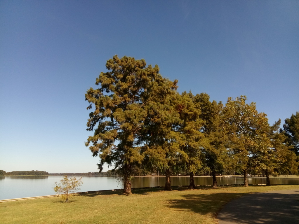
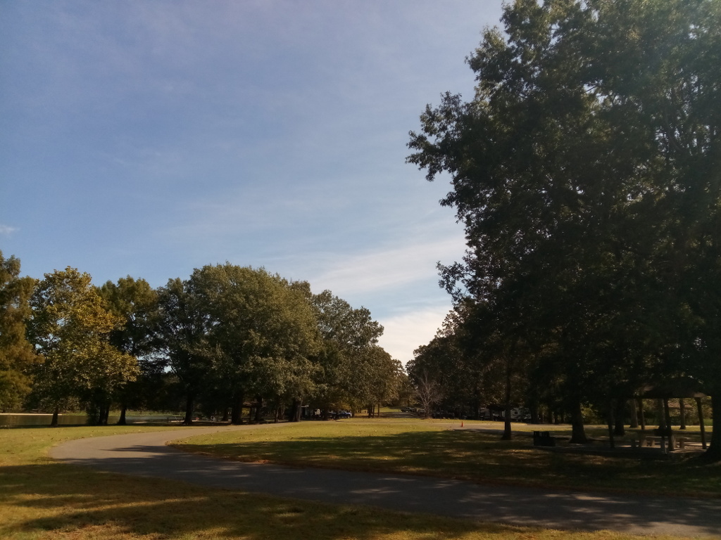
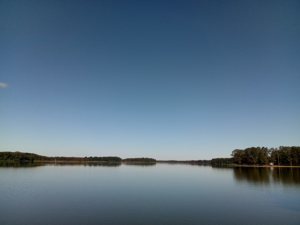
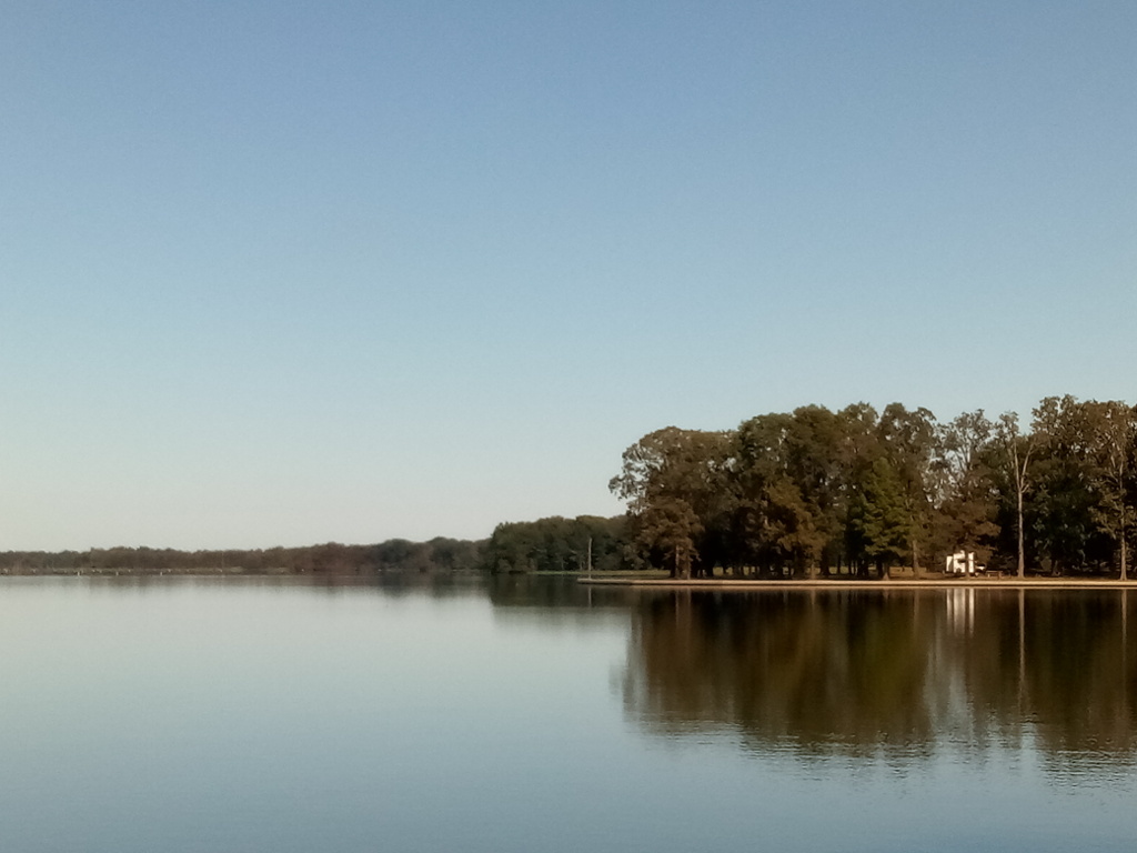
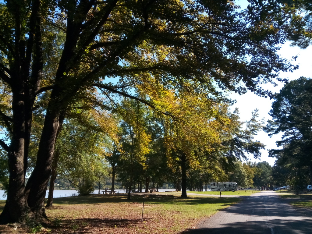
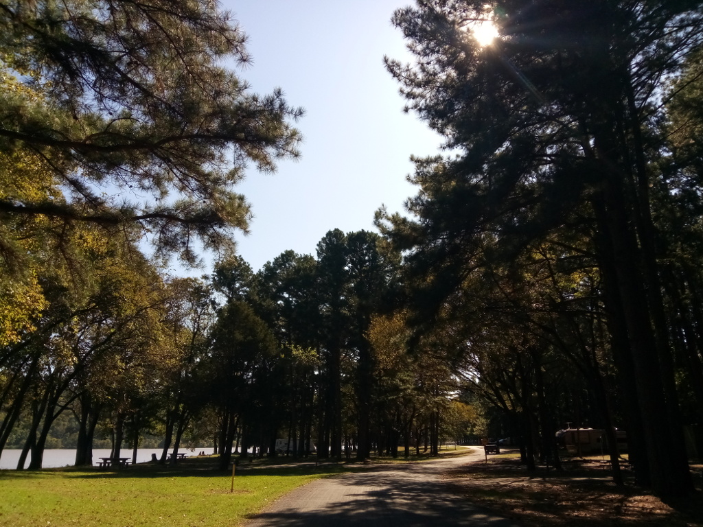
Merrisach Lake Recreation Area is a nice park situated on the Arkansas Post Canal. I was told it is most popular in spring and fall; summer is hot, humid and thick with mosquitoes. Some event was taking place over the upcoming weekend and the campground was expected to be full. After exploring the park and taking several photographs, we moved on to our next destination for the day.
Merrisach Lake Park
Merrisach Lake Park
Merrisach Lake Park
Merrisach Lake Park
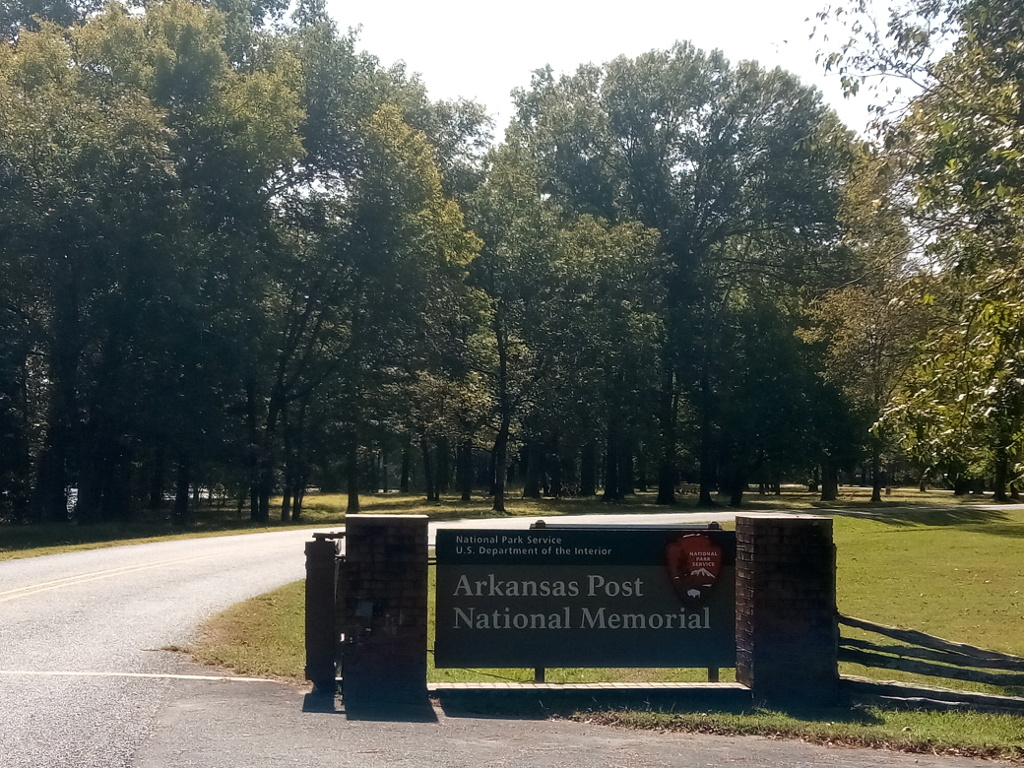
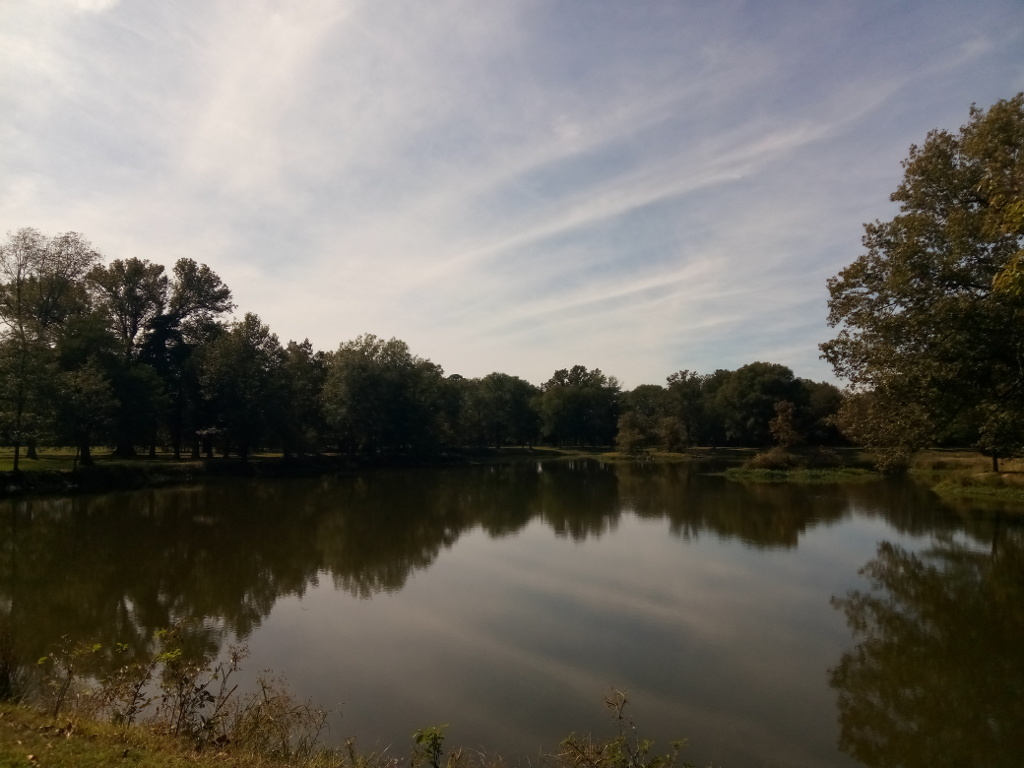
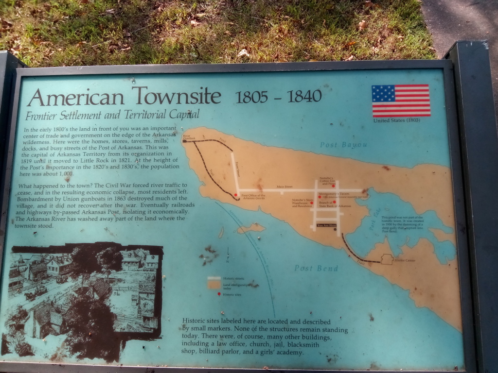
Our next stop for the day was Arkansas Post National Memorial. We walked the grounds of the old townsite, reading historical markers along the way. It was a beautiful mid-October day. The engine noise of a barge towboat could be heard in the distance. We continued walking toward the Arkansas River Overlook to see if we could watch the source of the engine noise, but it was out of sight. We enjoyed a picnic lunch before continuing our journey.
Arkansas Post National Memorial entrance.Park lake in Arkansas Post National MemorialDescription of townsite in Arkansas Post National Memorial
Back on US Highway 165, we headed south a few miles to our next destination, the Corps of Engineers park Pendleton Bend Recreation Area. This park on the Arkansas River features 32 campsites with a few directly overlooking the river. It’s a nice park, one I look forward to returning to for a longer stay.
Pendleton Bend Park
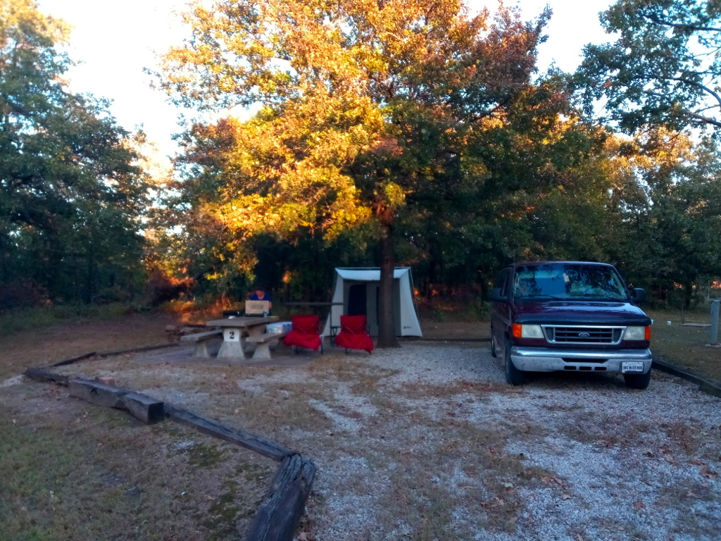
Wilbur D. Mills Park, another Corps of Engineers park, is farther on down the road a bit. This quiet park on the Arkansas River has 21 sites for RV and tent campers. A boat ramp provides access to the river. We seriously considered ending our day here and setting up camp for the night. The weather forecast called for cold temperatures overnight; we would be tent camping and were not prepared for the cold temps.
Wilbur D Mills Park
We continued on, following State Highway 212 west to its intersection with US Highway 65 where we would turn northward. Rising Star Park was the last Corps of Engineers park on my itinerary for the day’s journey. We were unable to explore the park or take photos because it was closed due to flooding. Disappointed, we turned around and headed back to US-65 and followed that to Pine Bluff and the hotel we stayed the previous night. It had been an enjoyable day exploring the various parks.
If you’ve not read part one of our travels following the Arkansas River, follow this link.
My wife and I recently took a trip following the Arkansas River. The plan was to follow much of the McClellan-Kerr Arkansas River Navigation System, stopping at various Corps of Engineers parks along the way. The navigation waterway is a 445-mile route from the Port of Catoosa near Tulsa, Oklahoma, to the Mississippi River. The system contains a total of 17 locks and dams along the Verdigris, Arkansas, and White Rivers.
McClellan Kerr Arkansas River Navigation System
Day two of our travels along the Arkansas River took us from Fort Smith, Arkansas, to Pine Bluff, Arkansas. We primarily followed Interstate 40 with numerous side trips to various Corps of Engineers parks. The 200-mile drive without stops typically takes about three hours to complete; we did it in six hours.
Our first stop of the day was Aux Arc Park near the town of Ozark. Aux Arc is a beautiful park and campground on the southern bank of the Arkansas River. The park is open year-round and has about 90 sites with electric and water hookups.
Aux Arc ParkAux Arc Park
Across the river is the Ozark-Jeta Taylor Lock and Dam. There is a field office located nearby where you can obtain information about the waterway…if it’s open. The office was closed when we stopped by. I continued to drive toward the lock to see if there was any public access for viewing barge traffic; there is not. Only a boat ramp is available here.
Heading back to the highway, we took a side trip up to Reed Mountain Park. The park entrance is across from the Corps of Engineers office and is a steep drive. It’s a nice park for having a picnic with good views of the Arkansas River and the lock and dam below.
Once back on I-40, we headed east to our next stop at Spadra Park near Clarksville. From I-40 Exit 58, we headed south on State Highway 103 to the park’s entrance. Spadra is a small park located on bluffs overlooking a wide part of the Arkansas River. The park has 24 campsites with electricity and five tent-only sites. Two boat ramps provide access to the river.
Spadra ParkView of Arkansas River from Spadra Park
Continuing eastward on Interstate 40, our next stop was to be Toad Suck Ferry Park near Conway but the park was closed due to flood damage from heavy rains earlier in the year. So we turned around and headed back to the highway and searched for a place to stop for a late lunch.
We stopped in Maumelle for gasoline and lunch at Chick-Fil-A. Nearby was a liquor store where I picked up some beer and wine. Arkansas is a state where it can be difficult to buy beer, wine, and spirits. Much of the state is dry. Wikipedia states there are 75 counties in Arkansas; 34 are dry but there are exceptions.
After our brief stop, we continued traveling on I-40, I-30, and I-530 through Little Rock. The destination for the day was Pine Bluff. We stayed at a nice Best Western hotel. While enjoying a glass of wine or two, I planned the itinerary for the next day.
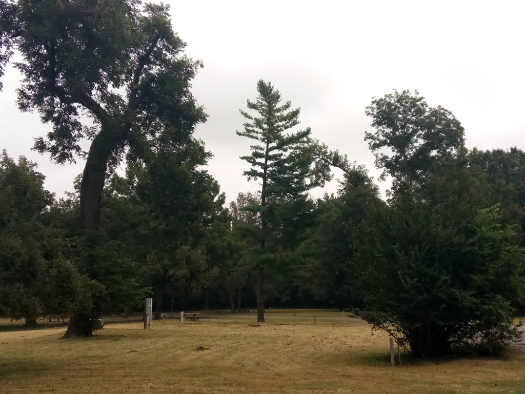
My wife and I recently took a trip following the Arkansas River. The plan was to follow much of the McClellan-Kerr Arkansas River Navigation System, stopping at various Corps of Engineers parks along the way. On our first night we camped at Birch Lake, a Corps of Engineers project northwest of Tulsa. Our campground host was a great guy known as Yankee. Birch Lake is not part of the Arkansas River Navigation System but is a lake I’ve wanted to visit. Our stay was a good one.
Camping at Birch Lake
McClellan-Kerr Arkansas River Navigation System is a 445-mile navigational route from the Port of Catoosa near Tulsa, Oklahoma, to the Mississippi River. The system contains a total of 17 locks and dams along the Verdigris, Arkansas, and White Rivers. There are several recreation areas and campgrounds located along the way.
McClellan Kerr Arkansas River Navigation System
Our first stop after leaving Birch Lake was the Afton Landing Recreation Area. The campground here is situated on the banks of the Verdigris River. Part of the campground was closed due to flood damage from heavy rains earlier in the year. Afton Landing is a small campground about five miles west of Wagoner along State Highway 51.
Afton Landing Recreation Area
Continuing on, we next landed in Summers Ferry Park on the Arkansas River near Gore, Oklahoma. This small park is managed by the City of Gore. It looked as though it, too, had received some damage from spring floods. The park is the historical site of a river ferry crossing operated between 1908 and 1923. Camping is available here for less than $20 per night. An RV dump station is also available. Webbers Falls Lock and Dam 16 is about five miles north of here. The lock is on the east side of the river but is not publicly accessible. There is, however, a scenic overlook on the west side of the river where you can watch barge traffic passing through the lock.
Before ending our travels for the day, we drove through and collected some information in the Springhill Park Campground near Fort Smith, Arkansas. This park is a Corps of Engineers area on the southern bank of the Arkansas River off State Highway 59. James W. Trimble Lock and Dam 13 is located here, too, but there is no public observation deck for watching barge traffic.
The Rock Island District of the U.S. Army Corps of Engineers publishes a 56 page brochure describing the recreation areas they manage along the Mississippi River. The guide provides information about the recreation areas between Potosi, Wisconsin, and Hannibal, Missouri.
Select the following link to view a copy of the guide: