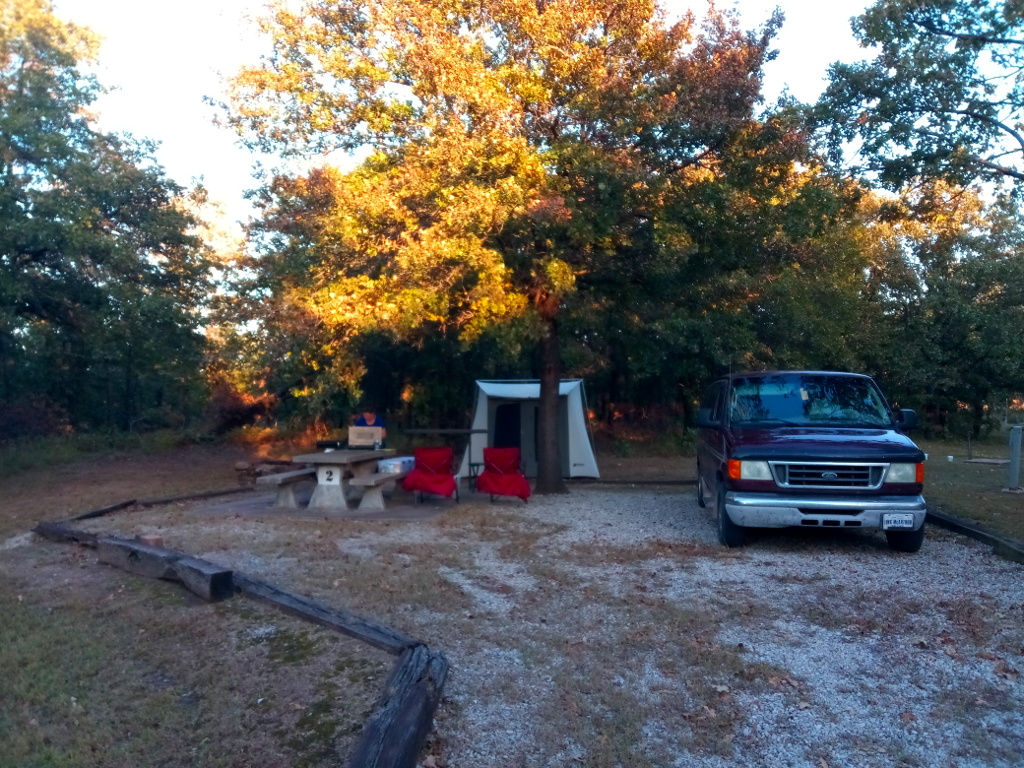
My wife and I recently took a trip following the Arkansas River. The plan was to follow much of the McClellan-Kerr Arkansas River Navigation System, stopping at various Corps of Engineers parks along the way. On our first night we camped at Birch Lake, a Corps of Engineers project northwest of Tulsa. Our campground host was a great guy known as Yankee. Birch Lake is not part of the Arkansas River Navigation System but is a lake I’ve wanted to visit. Our stay was a good one.
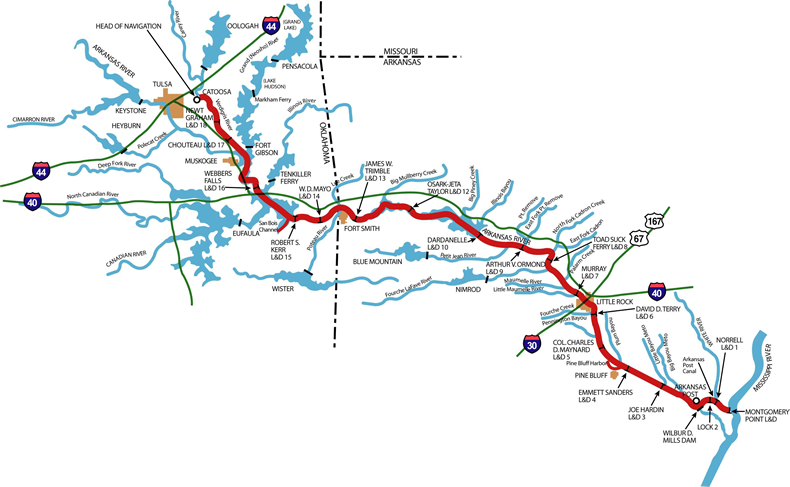
McClellan-Kerr Arkansas River Navigation System is a 445-mile navigational route from the Port of Catoosa near Tulsa, Oklahoma, to the Mississippi River. The system contains a total of 17 locks and dams along the Verdigris, Arkansas, and White Rivers. There are several recreation areas and campgrounds located along the way.
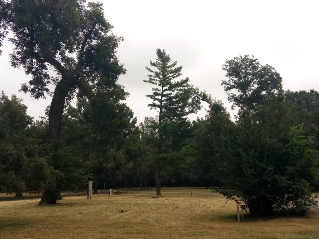
Our first stop after leaving Birch Lake was the Afton Landing Recreation Area. The campground here is situated on the banks of the Verdigris River. Part of the campground was closed due to flood damage from heavy rains earlier in the year. Afton Landing is a small campground about five miles west of Wagoner along State Highway 51.
Continuing on, we next landed in Summers Ferry Park on the Arkansas River near Gore, Oklahoma. This small park is managed by the City of Gore. It looked as though it, too, had received some damage from spring floods. The park is the historical site of a river ferry crossing operated between 1908 and 1923. Camping is available here for less than $20 per night. An RV dump station is also available. Webbers Falls Lock and Dam 16 is about five miles north of here. The lock is on the east side of the river but is not publicly accessible. There is, however, a scenic overlook on the west side of the river where you can watch barge traffic passing through the lock.
Before ending our travels for the day, we drove through and collected some information in the Springhill Park Campground near Fort Smith, Arkansas. This park is a Corps of Engineers area on the southern bank of the Arkansas River off State Highway 59. James W. Trimble Lock and Dam 13 is located here, too, but there is no public observation deck for watching barge traffic.
I have been saying from day one of the escape why the river and privet airplanes were not checked.