If you’ve not read part one of our travels following the Arkansas River, follow this link.
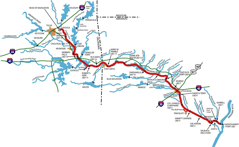
My wife and I recently took a trip following the Arkansas River. The plan was to follow much of the McClellan-Kerr Arkansas River Navigation System, stopping at various Corps of Engineers parks along the way. The navigation waterway is a 445-mile route from the Port of Catoosa near Tulsa, Oklahoma, to the Mississippi River. The system contains a total of 17 locks and dams along the Verdigris, Arkansas, and White Rivers.
Day two of our travels along the Arkansas River took us from Fort Smith, Arkansas, to Pine Bluff, Arkansas. We primarily followed Interstate 40 with numerous side trips to various Corps of Engineers parks. The 200-mile drive without stops typically takes about three hours to complete; we did it in six hours.
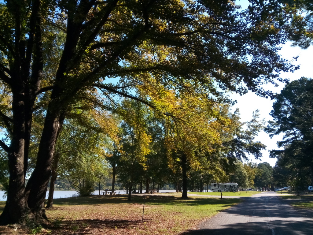
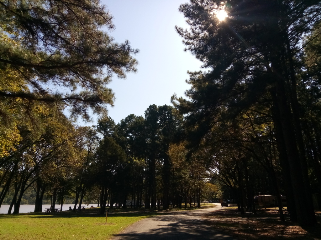
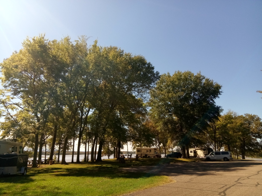
Our first stop of the day was Aux Arc Park near the town of Ozark. Aux Arc is a beautiful park and campground on the southern bank of the Arkansas River. The park is open year-round and has about 90 sites with electric and water hookups.
Across the river is the Ozark-Jeta Taylor Lock and Dam. There is a field office located nearby where you can obtain information about the waterway…if it’s open. The office was closed when we stopped by. I continued to drive toward the lock to see if there was any public access for viewing barge traffic; there is not. Only a boat ramp is available here.
Heading back to the highway, we took a side trip up to Reed Mountain Park. The park entrance is across from the Corps of Engineers office and is a steep drive. It’s a nice park for having a picnic with good views of the Arkansas River and the lock and dam below.
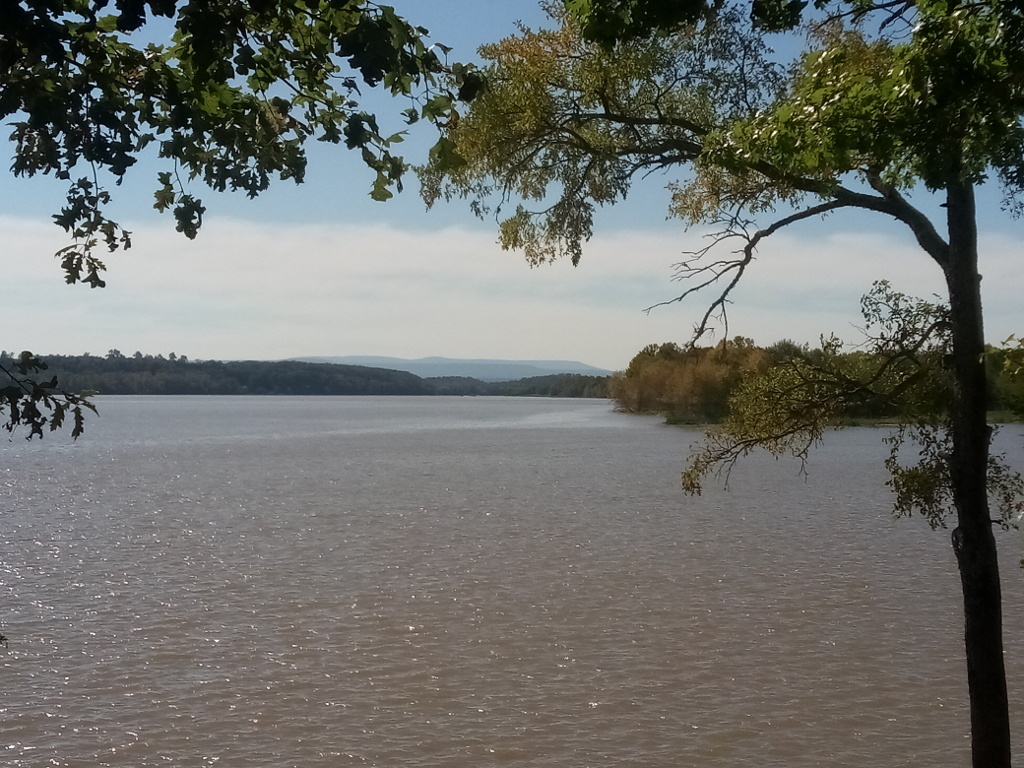
Once back on I-40, we headed east to our next stop at Spadra Park near Clarksville. From I-40 Exit 58, we headed south on State Highway 103 to the park’s entrance. Spadra is a small park located on bluffs overlooking a wide part of the Arkansas River. The park has 24 campsites with electricity and five tent-only sites. Two boat ramps provide access to the river.
Continuing eastward on Interstate 40, our next stop was to be Toad Suck Ferry Park near Conway but the park was closed due to flood damage from heavy rains earlier in the year. So we turned around and headed back to the highway and searched for a place to stop for a late lunch.
We stopped in Maumelle for gasoline and lunch at Chick-Fil-A. Nearby was a liquor store where I picked up some beer and wine. Arkansas is a state where it can be difficult to buy beer, wine, and spirits. Much of the state is dry. Wikipedia states there are 75 counties in Arkansas; 34 are dry but there are exceptions.
After our brief stop, we continued traveling on I-40, I-30, and I-530 through Little Rock. The destination for the day was Pine Bluff. We stayed at a nice Best Western hotel. While enjoying a glass of wine or two, I planned the itinerary for the next day.