
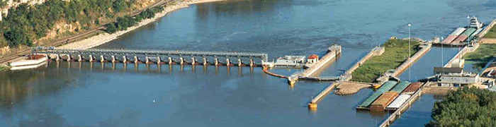
In the 1930s, the United States Army Corps of Engineers began constructing a series of locks and dams on the Mississippi River in order to maintain a navigational channel of at least nine feet deep. The dams form pools that make the river navigable in shallow areas. The locks are the passageways through the dams, allowing boats to travel from one pool to the next. There are a total of 29 locks and dams between Minneapolis, Minnesota, and Saint Louis, Missouri. Downstream of Saint Louis, the river is deep enough that locks and dams aren’t needed.
To learn more about the history of the Mississippi River locks and dams, select the link below:
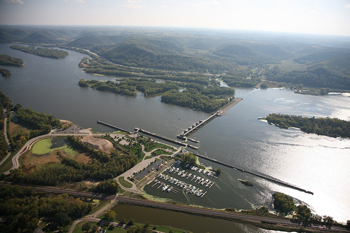
Many of the locks have an observation deck where visitors can watch towboats and their barges of cargo pass through the locks. The entire locking process typically takes less than 30 minutes. My wife and I have been to many of these locks to watch the river traffic pass through. Many locations also have picnic tables. Below is an interactive map I created to show the location of each lock and dam. Select a map pin to learn more about each lock and whether there is an observation area.